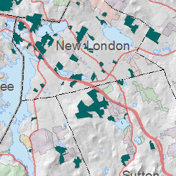
David and Celeste Cook donated a conservation easement on this property in 2001 to permanently conserve the land. They then donated the ownership of the property to the Town of New London. The trails and property are now managed by the New London Conservation Commission.
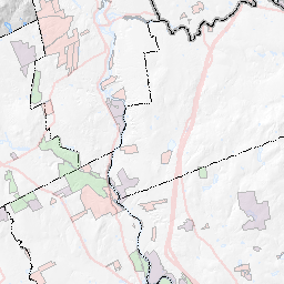
With 580 feet of frontage on Whitney Brook Road, this 69-acre easement shares 725 feet of boundary with the 125 acres of the Deming easement to the northwest. Situated on the southerly (Elkins) end of the small ridge along the eastern side of Pleasant Lake, the land, once used for farming and logging, is almost entirely wooded, including several trees (ash, yellow birch, hemlock, sugar maple, white pine) of considerable size. To preserve these and the forest growing up around them, the easement language states a goal of encouraging and preserving "a healthy natural forest in which groves of big trees will thrive for 100, 200 and even 300 years, to be observed and enjoyed throughout their lifetimes by the general public." No development is permitted.
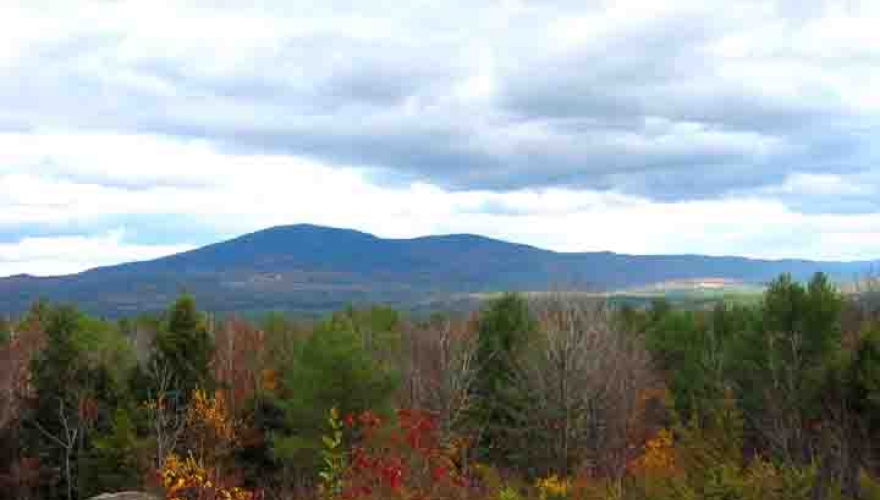
In August 2002, the Cook Interpretive Trail (1.25 miles long, maximum ascent/descent of 240 feet, rated Easy-Moderate) was opened to the public. The trail starts on Whitney Brook Road at the Ausbon Sargent sign, where a trail guide/map is available (parking on the road). Among the 35 trail features are a panoramic overlook of Ragged, Kearsarge and Sunapee mountains, a 900-foot stand of junipers, and a shady walk along Whitney Brook with views of small waterfalls. Foot traffic only and suitable for snowshoeing in winter.
The Cook Interpretive Trail map can be downloaded here: Cook Interpretive Trail Map