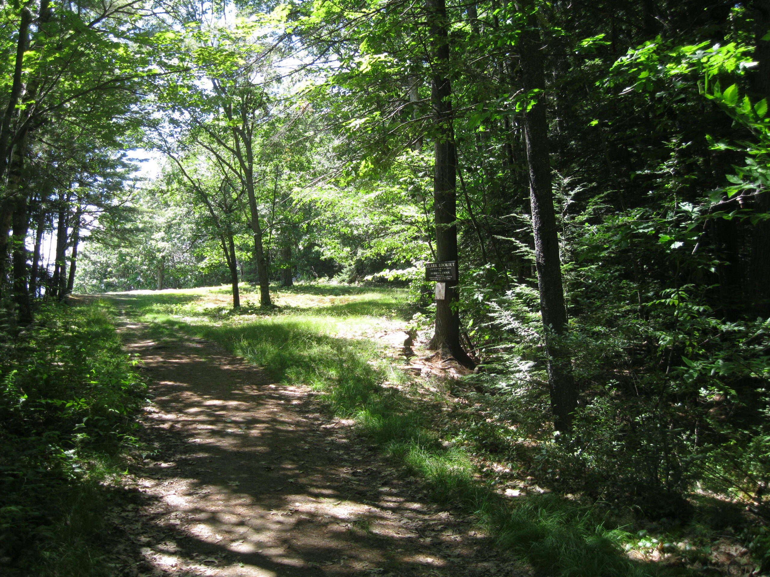
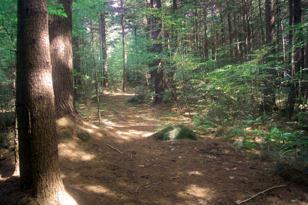
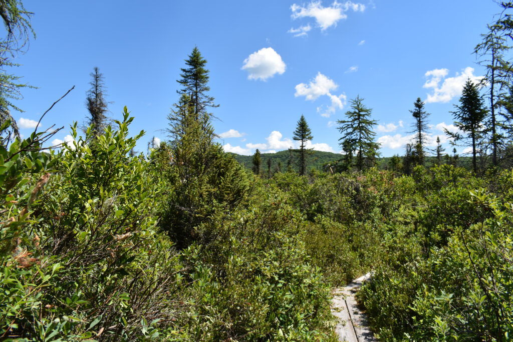
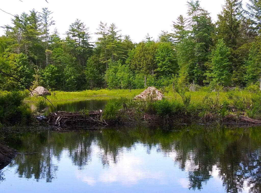
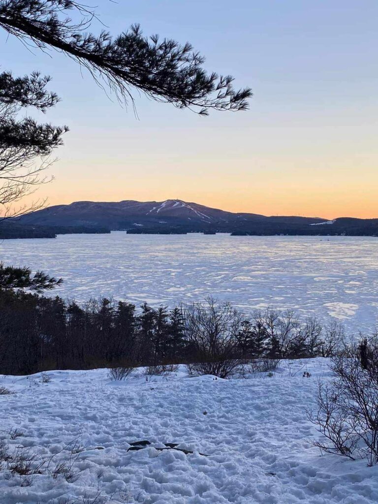
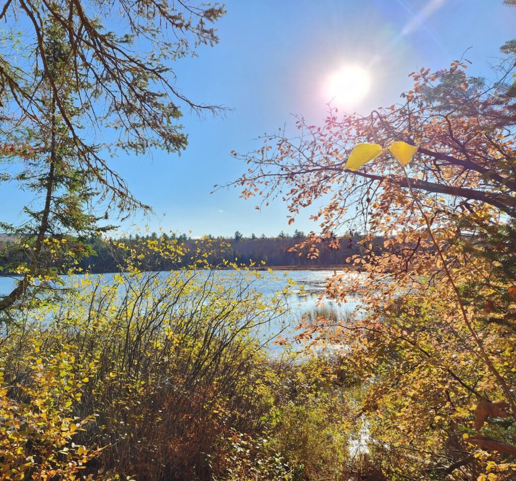
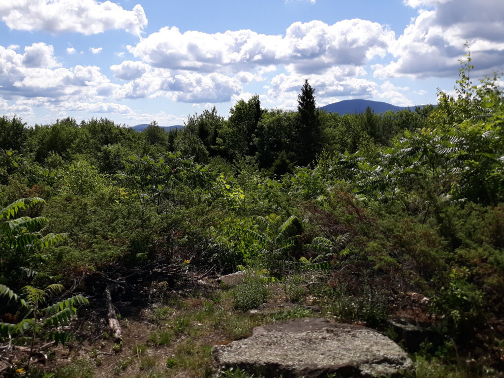
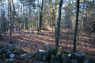
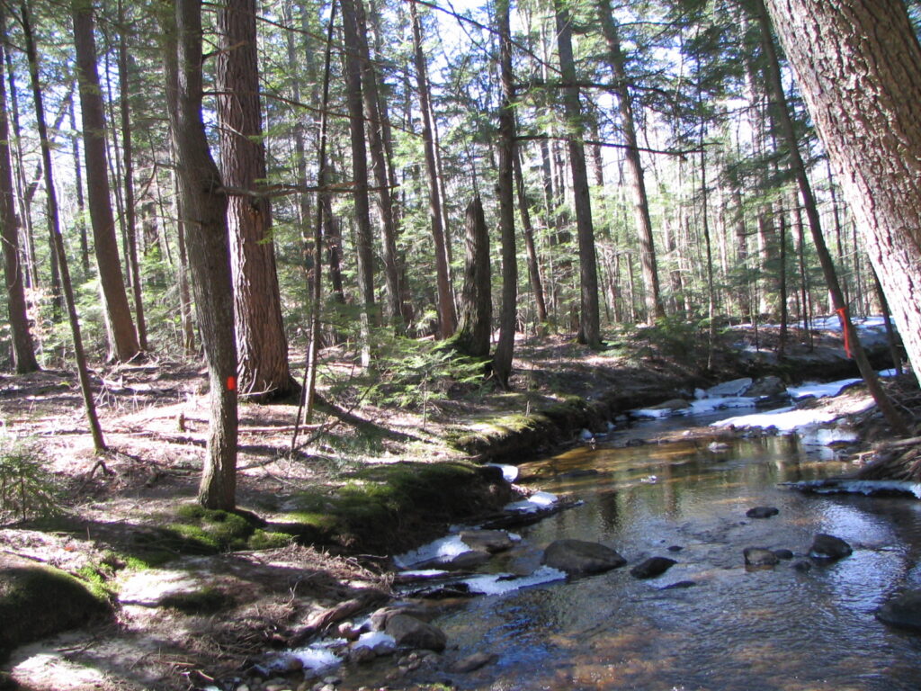
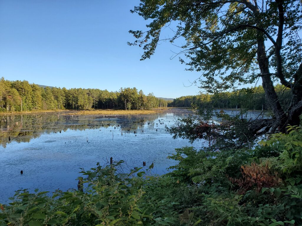
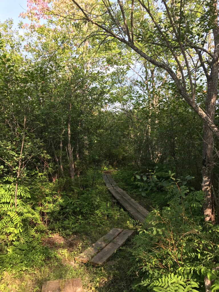
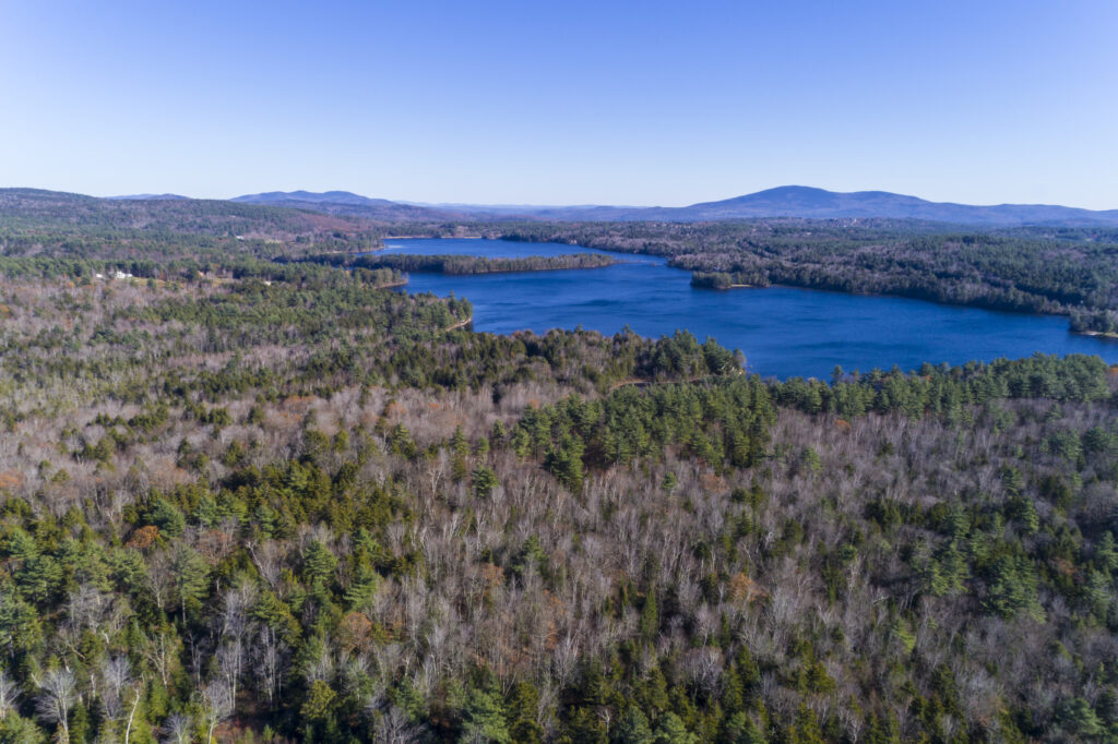
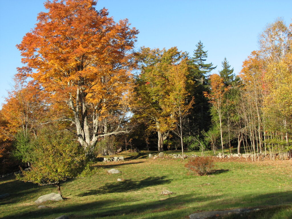
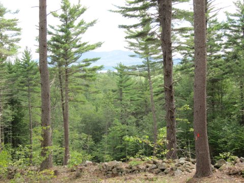
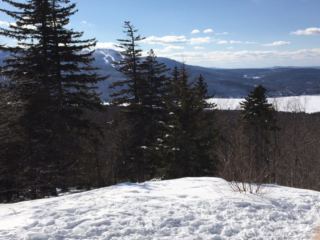
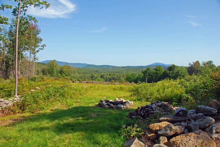
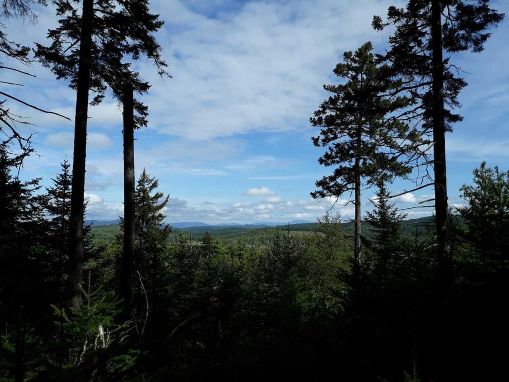
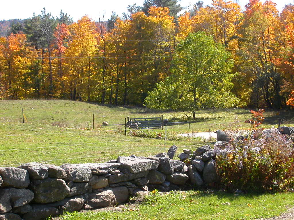
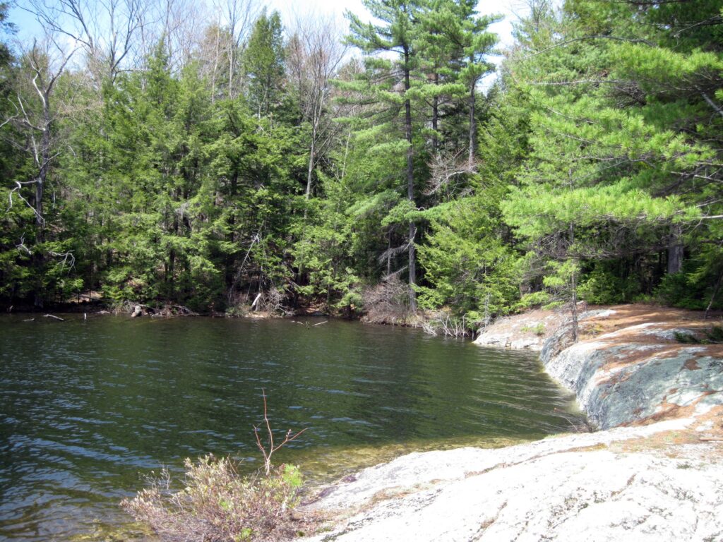
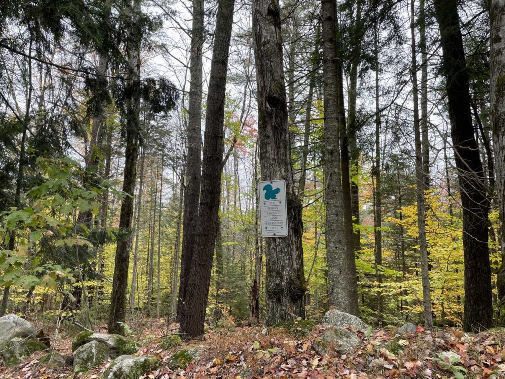
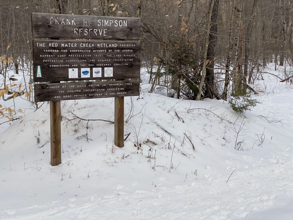
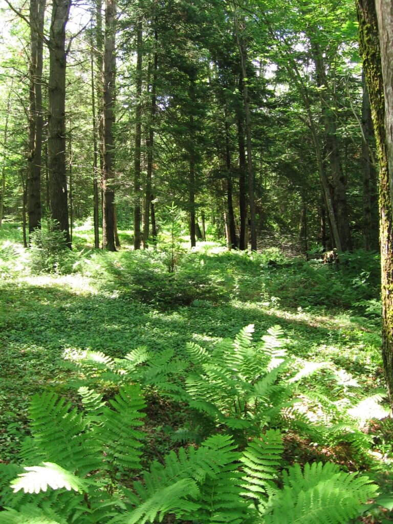
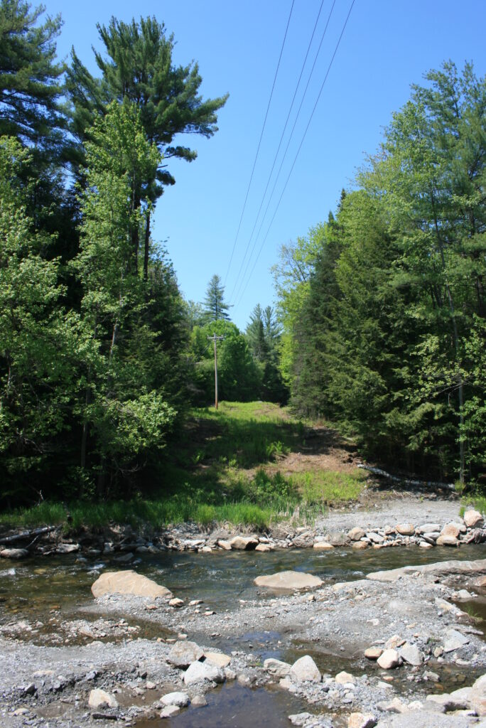
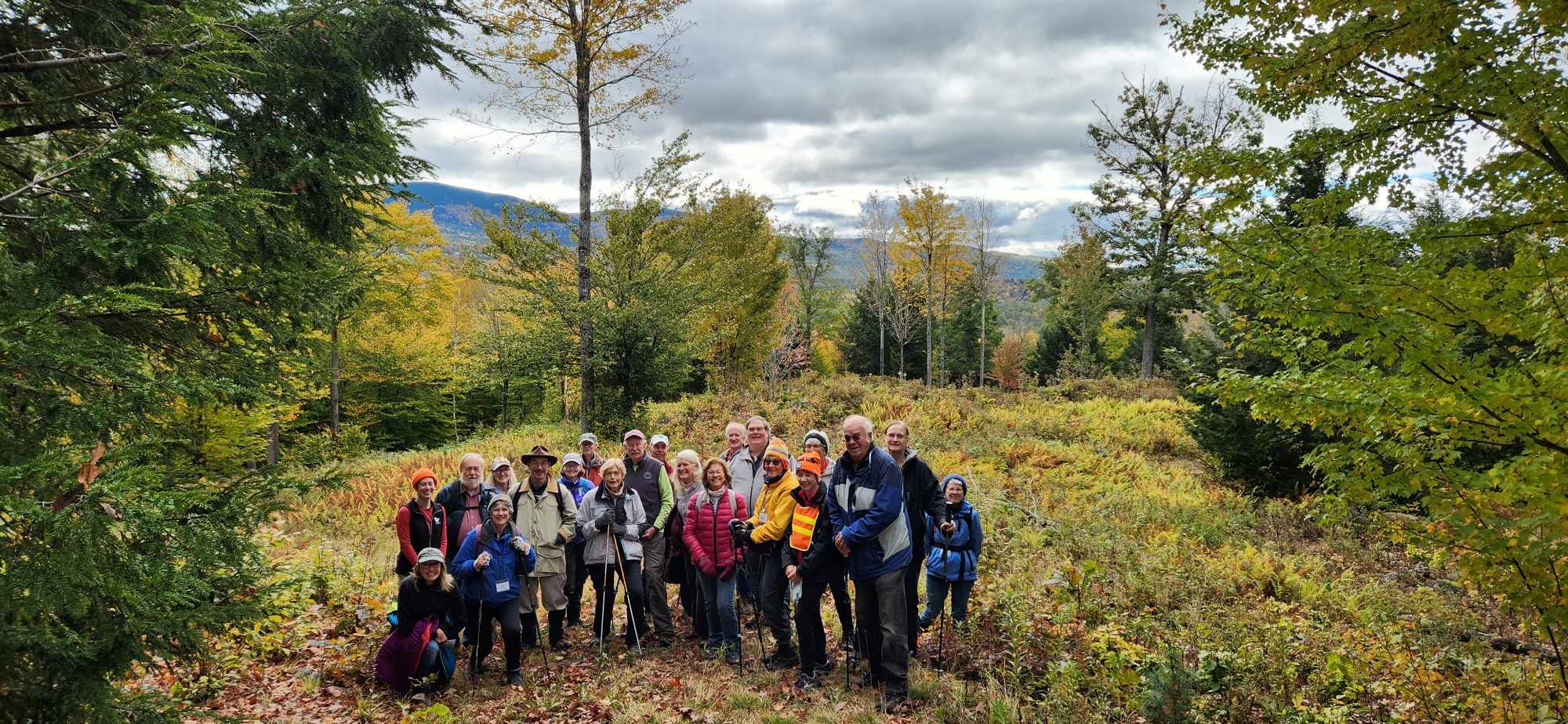
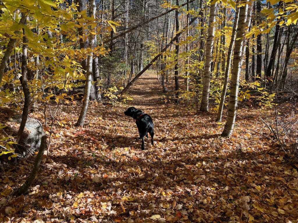
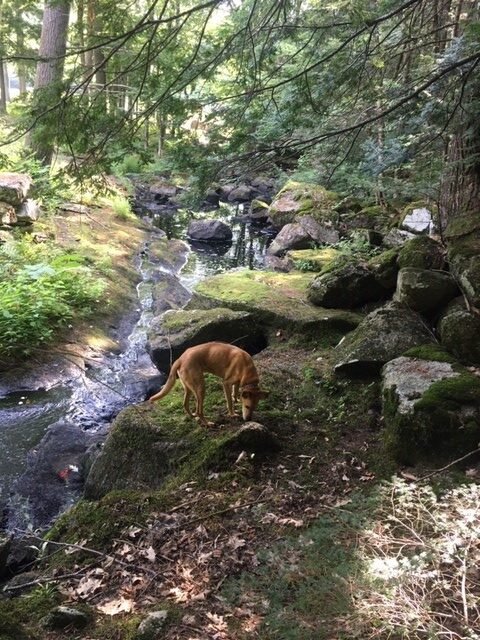
Most of our protected properties are open for public access, although not all properties have an established trail system. Maps and trail information for those properties that have a trails are available here. Scroll to the bottom of the page for our “DIY” hiking series brochures and additional hiking and exploring opportunities in our region.
Andover
Bradford
HOTEL SPRINGS SITE
Grantham
New London
Newbury
Springfield
Sunapee
THIS TRAIL NOT OPEN IN WINTER DUE TO LACK OF PARKING
MAP IS BEING UPDATED. SRKG MAP SHOWS ACCESS ALONG HELL’S CORNER RD.
PART OF SRKG TRAIL SYSTEM
Sutton

GENERAL RULES OF USE – PER THE SUTON CONSERVATION COMMISSION
Wilmot
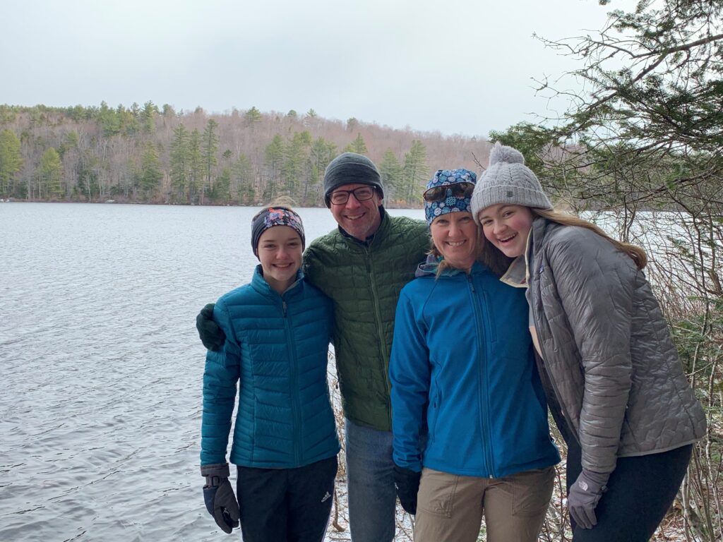
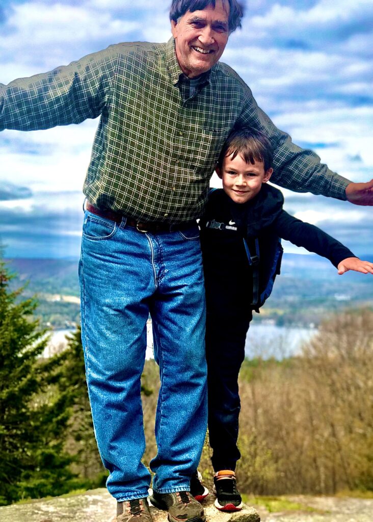
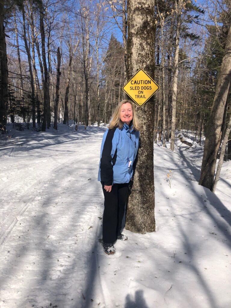
Hiking Series – Created for those who like to “DIY”!
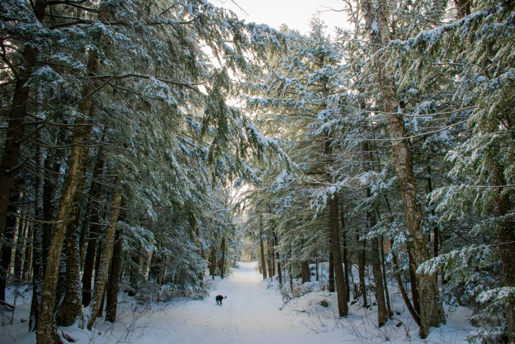
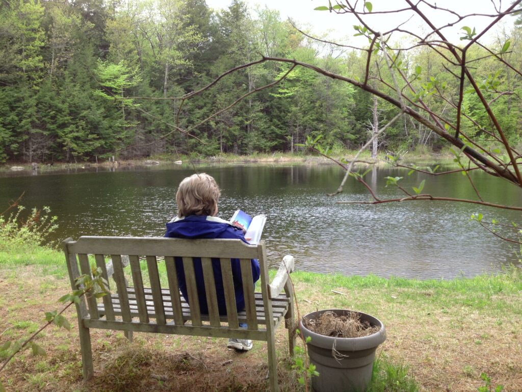
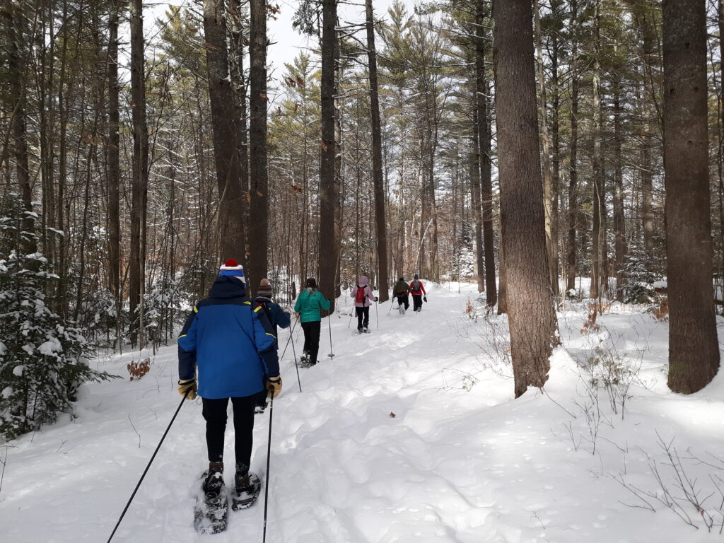
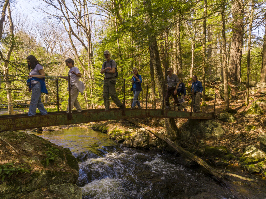
At the start of 2020, Ausbon Sargent made the decision to cancel all group-led hikes to help lessen the spread of the Covid-19 virus. To entice people to get outside and explore in a safe environment, we put together a “Do it Yourself” hiking experience. The first hiking series was put together in time to celebrate the 50th anniversary of Earth Day. Although we are back to group hikes again, the popularity of the DIY series prompted us to create more of them, including some just for snowshoeing! We hope you enjoy your adventures and that if you have a favorite photo or story from your exploration of our special places, you’ll share it with us!
Other Hiking Opportunities within the Mt. Kearsarge/Ragged/Lake Sunapee Region
Forest Society (Society for the Protection of NH Forests
Friends of the Northern Rail Trail
Sunapee-Ragged-Kearsarge-Greenway (SRKG)
Town of Bradford Conservation Commission
Town of Grantham Conservation Commission
Town of Newbury Conservation Commission
Town of Sunapee Conservation Commission